Important Course Information
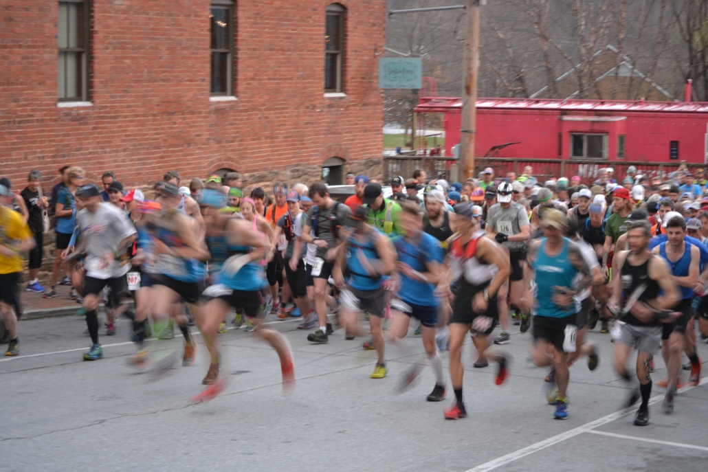
Both races start at 7AM on Cherry Street in Downtown Black Mountain. There is parking available in public parking lots or street parking. Runners must check in, even if they’ve already picked up their packet. During check in, runners will show the required gear to the race officials.
The finish line is at Lake Tomahawk in Black Mountain. There are parking lots available as well as neighborhood street parking.
The first and last ~3 miles are paved for both races. After the Blue Ridge Parkway check point, Challengers that make the cut off time will follow the paved road up to the summit of Mount Mitchell and then back down.
The courses will be marked with white yard signs with black arrows and trail ribbon. There are no designated crew access locations. Mount Mitchell State Park will be open to the public (weather dependent.)
Mount Mitchell Challenge: ~36 miles and ~4,500ft elevation gain
Black Mountain Marathon: ~26 miles and ~3,000ft elevation gain
Course Maps
Black Mountain Marathon
-
Sourwood Gap ~ mile 6
-
Pot Cove (Bills Knob) ~ mile 10
-
Blue Ridge Parkway (turnaround) ~ mile 13.1
-
Pot Cove (Bills Knob) ~ mile 17
-
Sourwood Gap ~ mile 20
-
Final Check Point~ mile 22
Mount Mitchell Challenge
Aid Stations
-
Sourwood Gap ~ mile 6
-
Pot Cove (Bills Knob) ~ mile 10
-
Blue Ridge Parkway ~ mile 13.1
-
Steppes Gap ~ mile 16
-
Mount Mitchell Summit ~ mile 19
-
Steppes Gap ~ mile 21
-
Blue Ridge Parkway ~ mile 24
-
Pot Cove (Bills Knob) ~ mile 28
-
Sourwood Gap ~ mile 30
-
Final Check Point ~ mile 32